
Construction management for linear infrastructure
AI-Powered. From Design to Invoice.
Vitruvi connects GIS design, field crews, AI inspection, and invoicing on one record, for the owners and contractors building fiber, utility, water, and oil and gas networks.
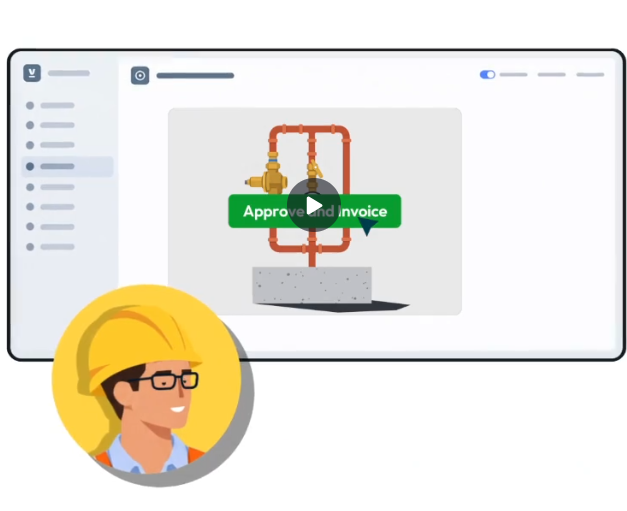
Trusted by operators and build partners across North America and the UK













Solutions by role
Built for everyone on the project
Engineers, project managers, field crews, and finance teams all work from the same GIS-native record.
Get from as-designed to as-built faster.
Connect GIS and CAD designs to field production, so design changes reach crews and as-built data comes back accurate and reviewed.
Explore for Engineering Managers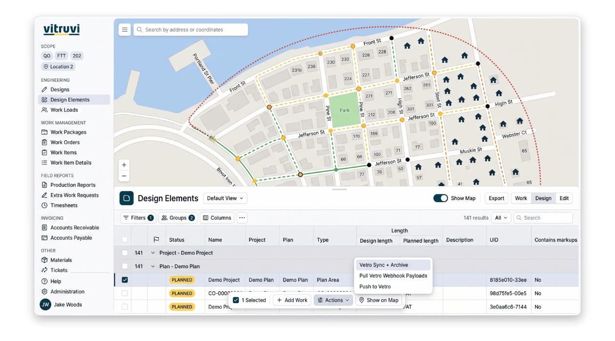
See progress without a status call.
Plan and assign work, approve production from the field, and track progress, tickets, and cost from approved quantities.
Explore for Project Managers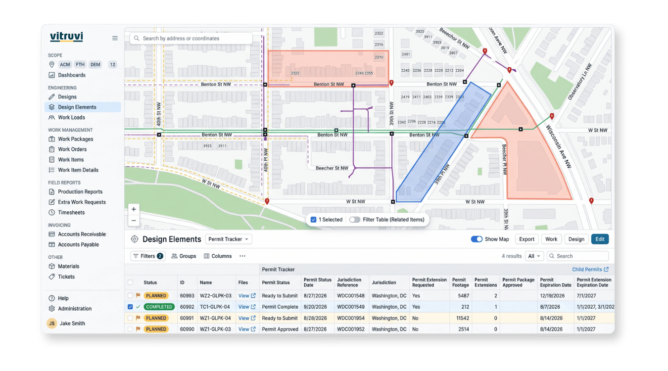
Report from the job site, not the truck.
Crews see assigned work on a map and capture production, photos, and markups in a few taps, even with weak coverage.
Explore for Field Technicians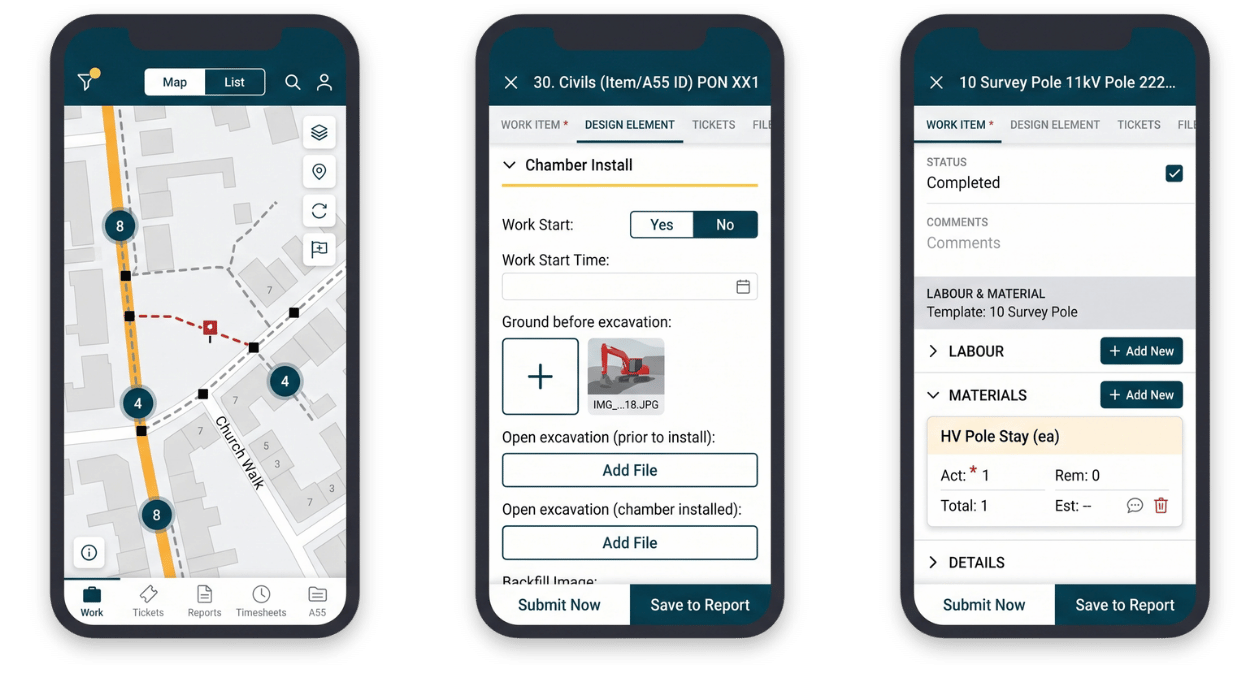
Pay and bill from approved quantities.
Budget, cost, A/R, and A/P stay tied to verified field production, so invoices hold up and cost is visible as work happens.
Explore for Financial Managers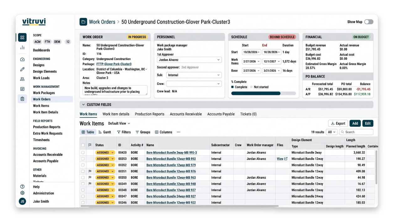
Built for the networks you build

Fiber & Broadband
Plan, build, and close out fiber networks faster, from the first GIS design to the final invoice. Vitruvi turns designs into structured work, captures splicing and production in the field, and uses AI to check quality across every crew and contractor.
Built for the networks you build

Utilities
Keep long-distance utility programs on schedule and on budget with real-time visibility into work, progress, and quality. Every crew reports against the same mapped design, so approvals move faster and closeout is ready as the work is done.
Built for the networks you build
Water
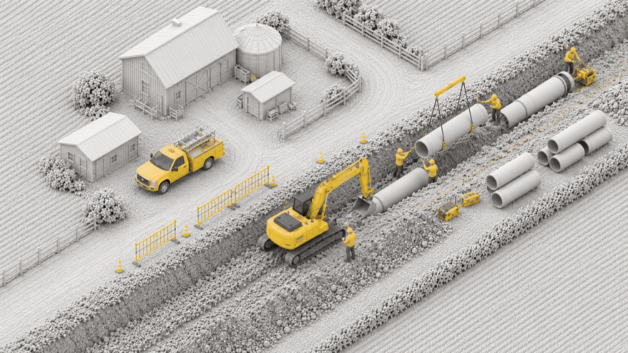
Manage water transmission and distribution projects on one GIS-native record. Track every main, valve, and service from design through construction and inspection, with the documentation owners and regulators expect.
Built for the networks you build
Oil & Gas
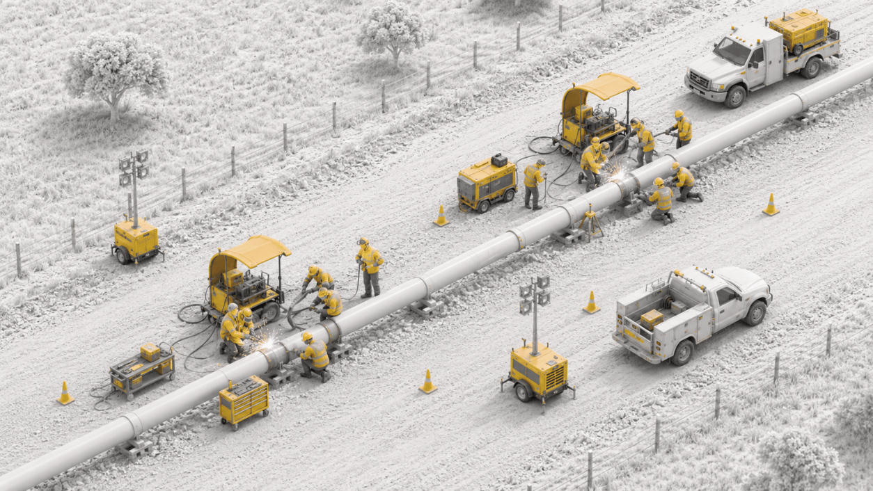
Bring order to complex pipeline and field work with accurate, location-based documentation. Vitruvi ties every segment to its design, its production record, and its inspection, which means fewer disputes, faster approvals, and less rework.


Owners, EPCs, and subcontractors
One record for everyone on the build

For asset owners and operators
Control every contractor, every mile.
Run multi-contractor programs on one standard instead of spreadsheets and status emails.
- Standardized reporting across every contractor
- Approve work from photo-verified, mapped production
- Budget against actuals for the whole program
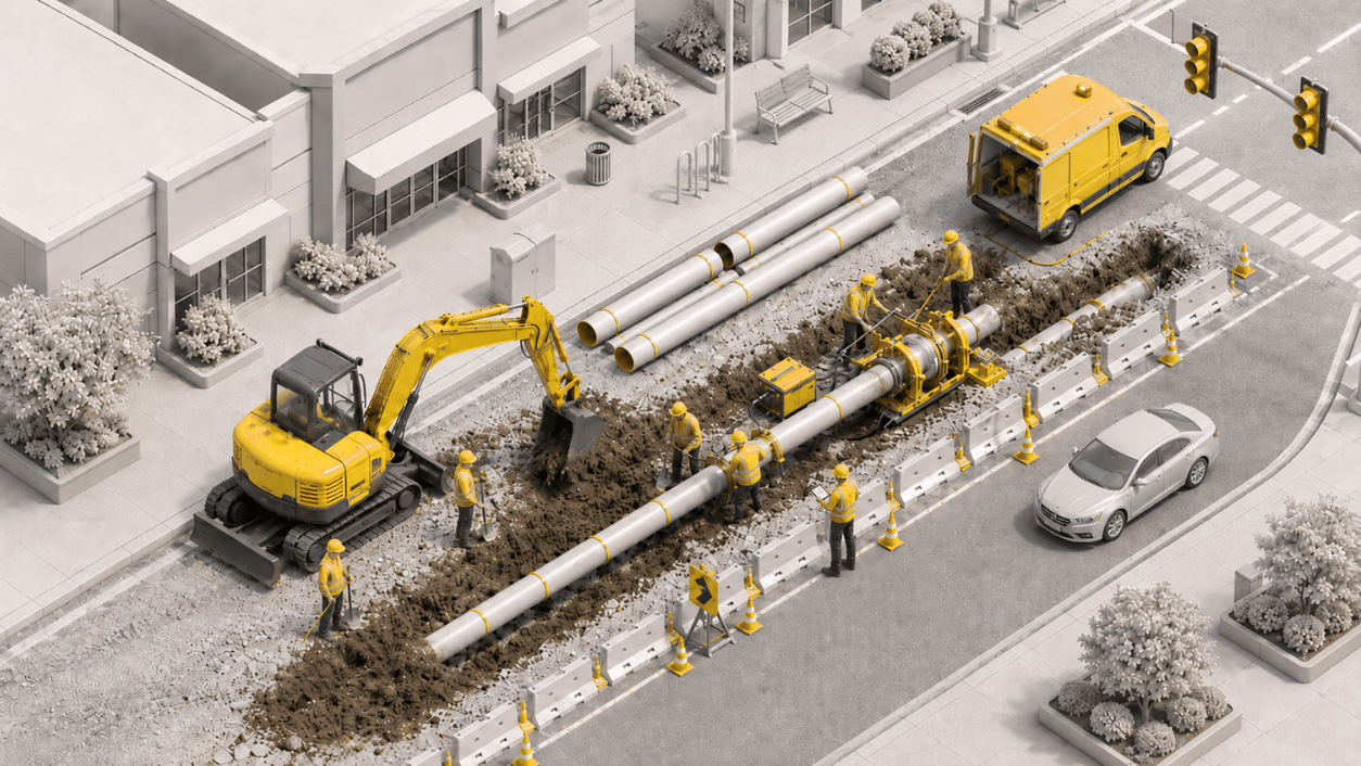
For EPCs and program managers
Deliver on schedule and on budget.
Plan the work, coordinate subcontractors, and keep owners updated from one live record.
- Turn GIS designs into work packages and schedules
- Track progress and cost across every crew and sub
- Bill the owner from approved quantities
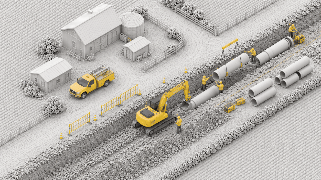
For subcontractors
Document the work once. Get paid faster.
Give crews a simple way to capture the work and give your office invoices that hold up.
- Production, photos, and redlines captured on mobile
- Fewer disputes with documented, mapped production
- Invoices built from approved quantities